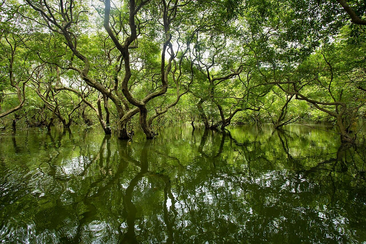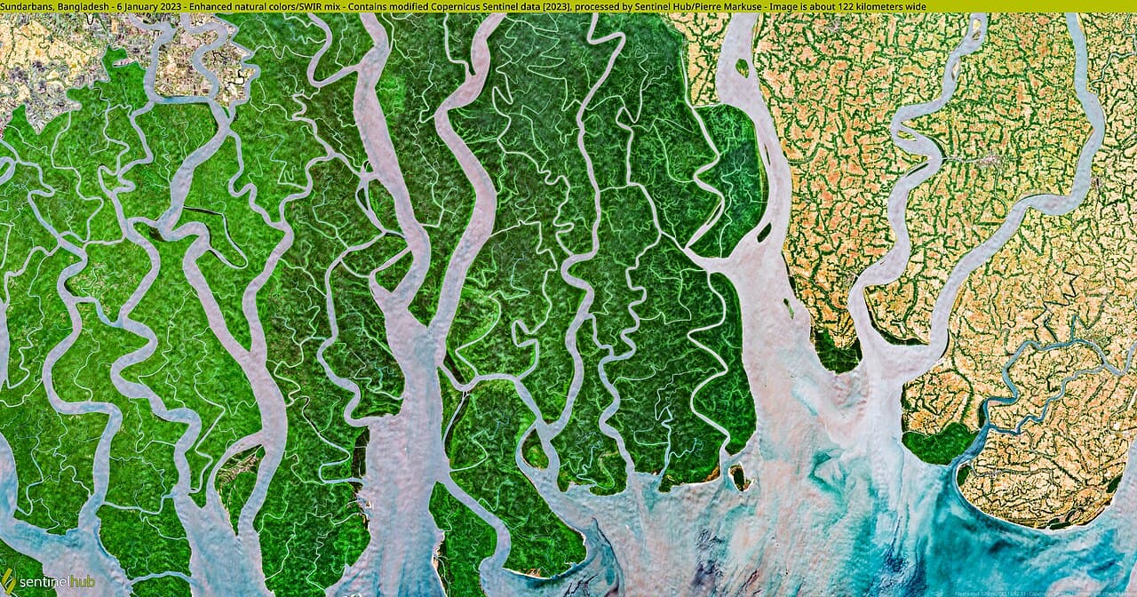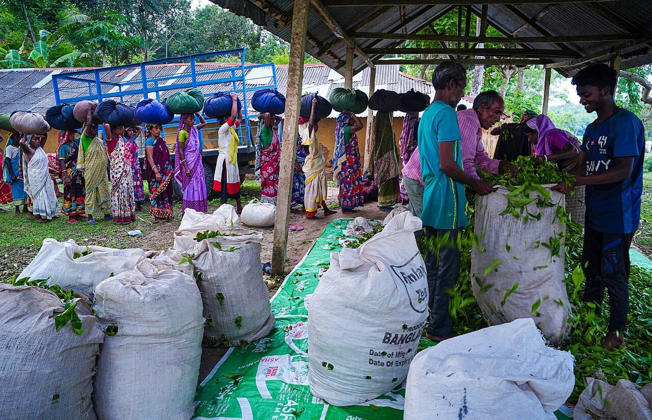
Srimangal's green image can flatten two very different landscapes into one postcard. Tea estates are managed working land shaped by cultivation, labor and access decisions. Lawachara National Park is a protected forest with designated trails, guides and conservation management. The Bangladesh Tourism Board and government sources place both in the wider Srimangal experience, but they should not be treated as open scenery or as proof that every green path is public. A stronger visit learns to read the transition among town, estate edge and forest, confirms where visitors may go, and leaves room for rain or flooding to change plans across the Sylhet region.
At a glance
Start here
- Keep tea estates and protected forest conceptually distinct.
- Use permission and designated routes rather than following any green track.
- Choose a Lawachara trail through current gate and guide information.
- Monitor official flood and weather information before regional movement.
01
See three landscape layers instead of one
The Tourism Board identifies Srimangal with terraced tea gardens and other plantations, while official information on Lawachara describes a protected mixed evergreen forest. Between them is the town and transport landscape that supports residents, workers and visitors. Noticing these three layers prevents a common mistake: assuming that every attractive green area is a park or that the forest exists mainly as an extension of a tea view.
Build an observation list for each layer. In the town, notice services and movement. At an authorized estate viewpoint or visitor area, look at planted rows, drainage, shade and work patterns without obstructing anyone. In Lawachara, let the current trail and guide frame attention toward forest structure. These are editorial prompts; access, names and ecological interpretation must come from land managers, signs and qualified guides.
- Town: movement, services and the visitor's local base.
- Tea landscape: managed cultivation seen only from permitted places.
- National park: protected forest experienced on authorized routes.
02
Treat tea country as working land
The Tourism Board's Srimangal page establishes tea gardens and plantations as defining landscape features. It does not make every estate road, worker area or field open to visitors. Ask accommodation staff or a responsible local operator which viewpoint or estate currently permits access, and confirm permission at the site. A photograph taken from an allowed road is more defensible than wandering into rows because another visitor posted the same angle.
People working in the landscape are not part of the scenery. Ask before photographing an identifiable person, accept refusal immediately and do not interrupt tasks to stage an image. Avoid repeating claims about wages, ownership or production methods unless an authoritative source or responsible representative supports them. The aim is to understand that the tea view is produced by land, infrastructure and labor without turning observation into a claim of expertise.
- Confirm current access rather than inferring it from an open gate.
- Ask consent before photographing identifiable workers.
- Do not present unverified labor or production claims as fact.
03
Understand what makes Lawachara different
Moulvibazar District's official page identifies Lawachara as a national park and describes designated walking trails and trained guides. A Bangladesh Forest Department assessment records its protected-area status, mixed evergreen and semi-evergreen forest and visitor infrastructure, including nature trails and management facilities. The assessment dates to 2010, so it is useful for ecological and management context, not for current operational promises.
Enter through the current authorized point, obtain any required ticket and ask which trail is open. Stay on the route, keep noise low, carry waste out and avoid feeding or approaching wildlife. The park is not guaranteed to produce a particular sighting. If a guide points out a call, track or plant, ask whether it is directly observed, inferred or traditionally understood. That distinction improves both learning and accuracy.
- Use the current authorized entrance and open trail.
- Treat the 2010 forest assessment as context, not today's schedule.
- Separate direct wildlife observation from guide interpretation.
04
Choose a trail by fit, not by ambition
The district page and Forest Department assessment both support the existence of multiple nature trails. Current availability, duration, surface and guide arrangements need to be checked at the park because older descriptions cannot account for maintenance or weather. Tell the responsible guide about mobility, heat tolerance and time constraints before choosing. A shorter trail observed carefully can reveal more than a longer route completed under pressure.
Bring footwear and rain protection appropriate to the current forecast, but do not assume equipment makes a closed route acceptable. Turn around when staff instruct or when your group can no longer remain together comfortably. Avoid playback calls, feeding and off-trail shortcuts. These low-impact suggestions extend the official protected-area context; they are not claims that every risk has been eliminated or that a guide can guarantee wildlife.
- Ask which routes are open and how current rain affects them.
- Choose for the least-capable group member, not the fastest walker.
- Stay together and return when staff or conditions require it.
05
Notice the forest edge without treating it as empty space
The Forest Department assessment records tea estates and Khasia settlements around Lawachara. Because that source reflects a 2010 assessment, use it to understand that the protected area has inhabited and managed edges, not to describe current community arrangements in detail. The transition from estate to forest is socially as well as ecologically meaningful, and visitors should avoid entering settlements or photographing residents without invitation and consent.
Ask a qualified interpreter how edge conditions affect vegetation and movement, then keep the answer attributed rather than presenting yourself as an ecologist. Notice changes in canopy, planted rows, roads and sound from authorized places. Do not purchase a community visit that cannot explain who invited the group and how residents participate. Respectful distance is a valid experience; access is not owed simply because a place appears in destination content.
- Treat the park edge as inhabited and managed space.
- Enter a community only through a clear invitation and consent process.
- Attribute specialist ecological interpretation to its source.
06
Plan around regional water conditions
Current UK travel advice says flash floods and landslides have affected Sylhet and other regions, in addition to the continuing seasonal flood risk in northeast Bangladesh. Srimangal plans therefore need a regional check, not only a town weather icon. Review FFWC and BMD information before road or rail travel, ask the accommodation and park authority about the exact route, and treat any closure or local instruction as decisive.
Rain does not automatically cancel every activity, and a dry moment does not prove that roads or trails are unaffected. Let park staff decide route access and transport operators decide whether they can operate lawfully and safely. Keep an indoor or town-based alternative and avoid a fixed onward connection that leaves no room for disruption. This is a decision method, not a seasonal promise.
- Check BMD and FFWC information alongside the local forecast.
- Ask about the actual road, rail and trail condition you plan to use.
- Keep an alternative that does not require entering a wet or closed route.
Useful answers
Reader questions
Can I walk into any tea garden around Srimangal?
Do not assume that. The Tourism Board identifies tea gardens as a central landscape feature, but that is not blanket access permission. Ask which estate, viewpoint or road currently welcomes visitors and follow signs and staff instructions. Never enter work areas or photograph identifiable workers without consent merely because a similar image appears online.
Sources: Bangladesh Tourism BoardDoes Lawachara have different walking trails?
Official district and Forest Department sources describe multiple nature trails. Their current availability, condition, duration and guide arrangement must be checked at the authorized entrance. The Forest Department assessment is older contextual evidence, so it should not be used to promise today's route. Choose according to current conditions and the whole group's capacity.
Sources: Moulvibazar District Administration; Bangladesh Forest Department, Forest Information SystemIs wildlife guaranteed in Lawachara?
No. Protected-area status and biodiversity context do not guarantee that a visitor will see a particular species. Stay on the authorized trail, keep noise low and ask a qualified guide to distinguish a direct sighting from a call, track or inference. Do not feed animals, use playback calls or leave the path to pursue them.
Sources: Moulvibazar District Administration; Bangladesh Forest Department, Forest Information SystemHow should flooding affect a Srimangal plan?
Check BMD and FFWC, then ask the accommodation, transport provider and park authority about the exact route. GOV.UK currently says flash floods and landslides have affected Sylhet, beyond the continuing seasonal risk. Do not infer road or trail condition from town weather alone; postpone when local authorities report disruption, closure or unsafe access.
Sources: UK Foreign, Commonwealth & Development Office; Bangladesh Meteorological Department; Flood Forecasting and Warning Centre, Bangladesh Water Development BoardRead the evidence
Sources and further reading
These sources support the relevant sections above. Plans and comparisons are editorial suggestions. Check operators for current arrangements.
- Tea Garden's Of Srimangal ↗Bangladesh Tourism Board · Accessed 14 September 2026
Official identification of Srimangal's tea and plantation landscape plus road and rail access; superlatives and old mutable details were excluded.
- লাউয়াছড়া জাতীয় উদ্যান ↗Moulvibazar District Administration · Accessed 14 September 2026
Official national-park identity and descriptions of designated nature trails and trained guides; current trail access is deferred to site staff.
- State of Bangladesh’s Forest Protected Areas, 2010 ↗Bangladesh Forest Department, Forest Information System · Accessed 14 September 2026
Official dated assessment of Lawachara's protected status, forest type, trail infrastructure and managed or inhabited edges; used as 2010 context only.
- Bangladesh Meteorological Department (BMD) ↗Bangladesh Meteorological Department · Accessed 14 September 2026
Official current forecasts and weather-warning gateway for regional travel decisions.
- Flood Forecasting & Warning Centre, BWDB, Bangladesh ↗Flood Forecasting and Warning Centre, Bangladesh Water Development Board · Accessed 14 September 2026
Official flood-forecast decision-support page used to check current regional water conditions.
- Bangladesh travel advice ↗UK Foreign, Commonwealth & Development Office · Accessed 14 September 2026
Current report that flash floods and landslides have affected Sylhet and other regions, plus seasonal flood risk and direction to monitor official Bangladeshi forecasts.